What Is Natural Navigation? A Simple Guide for Beginners
⚠️ SAFETY FIRST
Natural navigation can be useful, but it shouldn’t be treated as a replacement for a map, compass, GPS or other appropriate navigation equipment.
Natural signs can be difficult to interpret and weather, season, location and local conditions can all affect them.
When heading outdoors, especially into unfamiliar or remote areas, carry suitable navigation equipment and know how to use it.
If you become lost, don’t rely on guesswork. Stop, assess your situation and use the safest available method to find your way or get help.
What Is Natural Navigation?
Natural navigation is the skill of using clues from the natural environment to help work out direction, location and movement.
Instead of relying entirely on:
- A compass
- GPS
- A phone
- Road signs
- Man-made landmarks
you learn to pay attention to things such as:
- The sun
- Stars
- Landscape
- Rivers and valleys
- Coastlines
- Weather
- Vegetation
- Shadows
- Natural landmarks
It’s sometimes called navigation by nature.
The basic idea is simple:
The natural world contains clues about where you are and where you’re going.
The challenge is learning which clues are reliable, which are not, and how to combine several clues together.
💡 EXPLAIN IT SIMPLY
Natural navigation = using nature to help you understand direction and location.
You aren’t looking for one magical sign that says “North is that way.”
You’re building a picture from multiple clues.
Is Natural Navigation the Same as Navigation?
Not quite.
Navigation is the wider skill of knowing:
- Where you are
- Where you want to go
- Which route to take
- How to stay on that route
- How to recognise when you’ve gone wrong
Natural navigation is one way of gathering information to help with those decisions.
For example, a walker might navigate using:
Map + compass + GPS + landscape + natural clues
Natural navigation simply adds another set of tools to your knowledge.
Why Learn Natural Navigation?
You might wonder:
“If I have GPS on my phone, why do I need to know any of this?”
There are several good reasons.
Technology Can Fail
Phones and GPS devices rely on:
- Battery power
- Electronics
- Signal or satellite reception
- Working equipment
A phone with a flat battery isn’t much use for navigation.
It Improves Your Awareness
Natural navigation encourages you to pay attention to your surroundings.
You start noticing:
- Hills
- Valleys
- Rivers
- Sun position
- Shadows
- Vegetation
- Weather
It Supports Other Navigation Skills
Natural clues can help confirm what your map and compass are telling you.
It’s a Useful Backup
If your normal navigation equipment becomes unavailable, understanding your surroundings gives you additional options.
Can You Navigate Without a Compass?
Yes, but with important limitations.
It is possible to estimate direction using natural clues.
However, estimating direction isn’t the same as knowing your exact position.
For example, knowing approximately where south is doesn’t tell you exactly where you are on a map.
That’s why natural navigation is best treated as a supporting skill, rather than a replacement for proper navigation equipment.
Using the Sun for Navigation
The sun is one of the most obvious natural navigation clues.
It appears to move across the sky during the day because of the Earth’s rotation.
In the UK and other northern-hemisphere locations, the sun generally travels across the southern part of the sky.
This can provide useful directional information.
But there’s a catch.
The sun doesn’t always behave in exactly the way a beginner might expect.
Its position changes depending on:
- Time of day
- Time of year
- Latitude
- Your location
- Daylight saving time
Cloud can also make it difficult to see.
So:
The sun can provide useful clues, but don’t treat it as a perfectly accurate compass.
Using Shadows
Shadows can also provide information about the sun’s position.
If you place a stick vertically into the ground, its shadow will point generally away from the sun.
As the sun moves, the shadow changes direction.
This means you can observe how the shadow changes over time and use that information to estimate direction.
This is much more useful than simply saying:
“The shadow points north.”
It doesn’t necessarily.
The direction depends on the sun’s position.
🌞 REMEMBER
A shadow points away from the light source.
So when using shadows for navigation, you’re really using the position of the sun to work out direction.
The Shadow Stick Method
One traditional technique involves using a stick and observing the movement of its shadow.
The basic principle is:
The method can provide a useful demonstration of how the sun appears to move across the sky.
However, it is not a precision navigation technique.
Small errors in setup, timing and marking can affect the result.
It’s best regarded as an educational technique or backup rather than your primary method of navigation.
Can You Tell North From the Sun?
Sometimes you can make a reasonable estimate.
But you need to understand that the familiar idea of:
“The sun rises in the east and sets in the west.”
is an approximation.
The sun only rises almost exactly east and sets almost exactly west around the equinoxes.
At other times of year, the points where it rises and sets shift north or south of east and west.
This matters if you’re trying to use the sun for accurate navigation.
Using the Stars
At night, the stars provide another natural navigation tool.
In the Northern Hemisphere, one of the most useful stars for navigation is Polaris, commonly called the North Star.
Polaris lies very close to the north celestial pole.
That means:
If you can identify Polaris, you can identify approximately north.
This is one of the most famous examples of natural navigation.
Finding Polaris
Polaris isn’t usually the brightest star in the night sky.
That’s why simply looking for the brightest star isn’t a reliable method.
Instead, you can use the familiar Plough or Big Dipper pattern, which forms part of the constellation Ursa Major.
Two stars at the outer edge of the Plough’s bowl can be used as pointer stars.
Imagine a line extending from those stars.
Following that line leads approximately towards Polaris.
Once you’ve identified Polaris, you have a useful indication of north.
⭐ STAR NAVIGATION
Polaris → approximately North
But remember:
- It only works when the star is visible.
- Clouds can obscure it.
- You need to identify it correctly.
- It doesn’t tell you your exact location.
It’s a directional clue, not a complete navigation system.
What About the Southern Hemisphere?
Polaris isn’t visible from most of the Southern Hemisphere.
Instead, navigators can use the Southern Cross (Crux) and nearby stars to estimate the direction of south.
This is a useful reminder that natural navigation depends heavily on where you are in the world.
There isn’t one universal technique that works everywhere.
Using the Landscape
One of the most useful forms of natural navigation is also one of the simplest:
Look at the landscape.
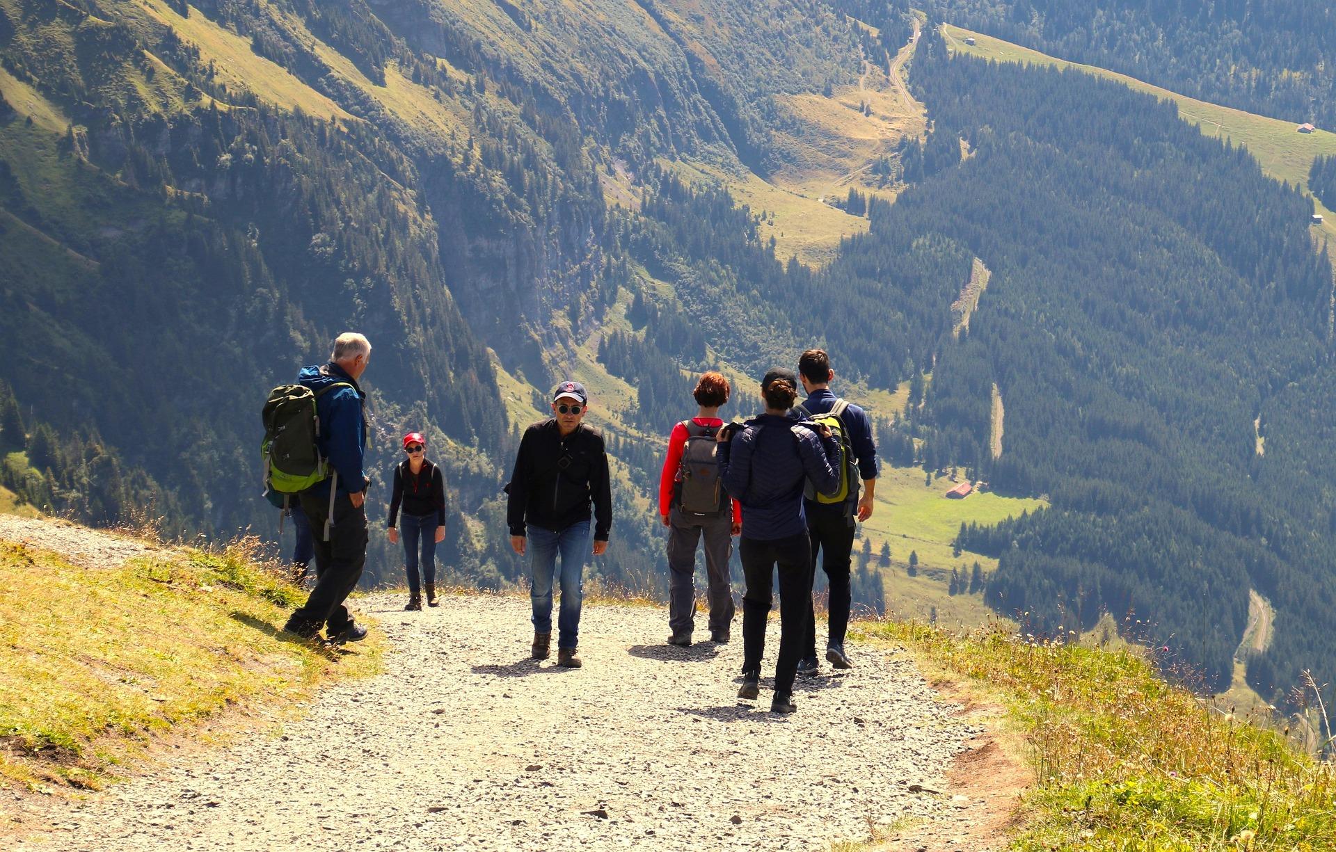
Natural features can be excellent navigation clues.
These might include:
- Mountains
- Hills
- Valleys
- Rivers
- Lakes
- Coastlines
- Cliffs
- Ridges
- Distinctive rock formations
Imagine you’re walking through an area with a large hill visible in the distance.
Instead of simply thinking:
“There’s a hill.”
you might think:
“The hill is west of me, the river is running roughly north-south and the valley opens towards the east.”
You’re building a mental map.
Natural Landmarks
A distinctive natural feature can be particularly useful.
For example:
- A prominent mountain
- A distinctive hill
- A large lake
- A coastline
- A particular rock formation
These features can help you recognise where you are.
However, you should be careful about relying on memory alone.
Two hills can look surprisingly similar.
A landscape can also look completely different depending on:
- Weather
- Visibility
- Season
- Your direction of travel
- Your distance from the feature
Rivers and Streams
Watercourses can provide useful clues.
A river may help you understand:
- The direction you’re travelling
- The shape of the landscape
- Your approximate location
- Where you’re likely to encounter roads, bridges or settlements
But rivers shouldn’t automatically be treated as perfect navigation lines.
They can:
- Bend
- Split
- Join other waterways
- Change course
- Become difficult to follow
And, importantly:
A river can be a navigation aid and a hazard at the same time.
Fast-flowing water, steep banks and crossings can all be dangerous.
Valleys and Ridges
The shape of the land can provide powerful navigation information.
A ridge is an elevated line of land.
A valley is a lower area between higher ground.
Once you become familiar with reading terrain, these features can help you understand where you are even without obvious landmarks.
This is one reason learning to read a map and learning natural navigation work so well together.
The map gives you the information.
The landscape shows you what that information looks like in real life.
Weather as a Navigation Clue
Weather can sometimes provide useful environmental information.
For example:
- Prevailing winds
- Cloud movement
- Snow patterns
- Rain direction
- Visibility
But weather is not a reliable compass.
Winds can change.
Storms can arrive from unusual directions.
Local terrain can channel or redirect wind.
So don’t use:
“The wind is coming from the west.”
as your sole evidence that you’re facing east.
Treat it as one clue among several.
Can Moss Tell You Which Way Is North?
You’ve probably heard this one:
“Moss always grows on the north side of trees.”
It’s a popular piece of outdoor folklore.
But it’s not a reliable navigation technique.
Moss grows where conditions suit it.
Those conditions can include:
A tree may have moss on several sides.
So:
Don’t use moss to determine north.
It’s a great example of why natural navigation requires observation rather than repeating survival myths.
Can Tree Rings Tell You Direction?
Another common claim is that tree rings can show which side of a tree faces north or south.
This isn’t a dependable way to navigate.
Tree growth is influenced by many environmental factors, including:
- Light
- Competition
- Wind
- Slope
- Damage
- Local conditions
Growth patterns aren’t a simple compass.
Natural Navigation Means Combining Clues
This is probably the most important principle to understand.
Don’t think:
“I found one clue, so I know where I am.”
Instead think:
“Several clues seem to agree.”
For example:
The sun suggests one direction.
↓
The shape of the valley agrees.
↓
A distinctive hill matches your map.
↓
The river is where you expected it to be.
Now you’ve got a much stronger picture.
This is called cross-checking.
🧭 THE GOLDEN RULE OF NATURAL NAVIGATION
Don’t trust one clue when you can check several.
The more independent clues that agree with each other, the more confidence you can have in your conclusion.
Natural Navigation and a Map
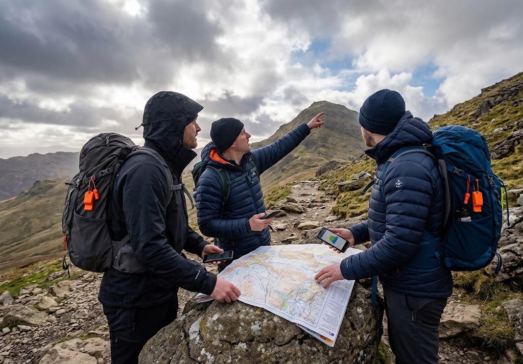
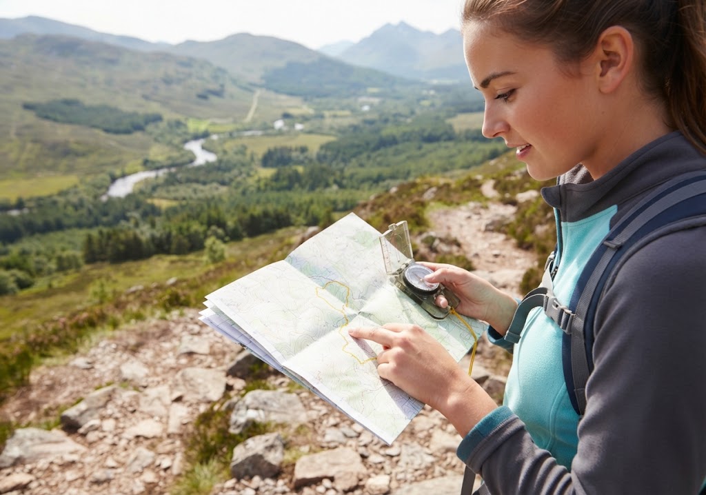
Natural navigation becomes much more useful when combined with a map.
Imagine your map shows:
- A river
- A ridge
- A small lake
- A hill
When you’re outdoors, you can look for those same features.
You are effectively matching:
Map → Landscape
This is one of the most valuable navigation skills you can develop.
Natural Navigation and a Compass
A compass remains one of the simplest and most reliable ways to establish direction.
Natural navigation doesn’t replace it.
Instead, you can use both.
For example:
Compass: Gives you a bearing.
Map: Shows where that bearing takes you.
Landscape: Confirms whether what you’re seeing matches the map.
Natural clues: Provide additional information.
This gives you several ways to check your position.
What If Your GPS Stops Working?
This is where natural navigation can become particularly useful.
Imagine you’re hiking.
Your phone battery dies.
You can no longer use your navigation app.
If you’ve been paying attention to the landscape, you may still know:
- Which direction you’ve been travelling
- What features you’ve passed
- What the terrain looks like
- Where the sun is
- What landmarks you’ve seen
But this is exactly why you should not wait until your technology fails to start paying attention.
Navigation should be continuous.
Don’t spend three hours following a blue dot without looking at the world around you.
Natural Navigation Is About Observation
One of the biggest benefits of learning natural navigation is that it changes the way you look at the outdoors.
Instead of seeing:
A hill
you start seeing:
A ridge running roughly north-south.
Instead of seeing:
A river
you start thinking:
This river should lead towards the valley shown on my map.
Instead of seeing:
The sun
you start thinking:
The sun’s position is consistent with the direction I believe I’m travelling.
You’re developing environmental awareness.
Natural Navigation for Bushcraft
Natural navigation is closely connected with bushcraft.
Bushcraft encourages you to understand your surroundings.
Natural navigation takes that awareness and applies it to finding your way.
Both involve:
- Observation
- Understanding nature
- Reading the environment
- Developing practical knowledge
- Making decisions
It’s therefore a natural skill for anyone interested in bushcraft.
Natural Navigation for Scouts
Natural navigation also fits very naturally into Scouting.
Young people can learn to:
The key is to teach natural navigation as a supporting skill, rather than encouraging young people to head into the countryside without proper navigation equipment.
What Are the Best Natural Navigation Skills to Learn?
For beginners, I’d recommend starting with:
1. Learn to Read the Landscape
Look at hills, valleys, ridges, rivers and other features.
2. Learn About the Sun
Understand how its apparent movement changes throughout the day and year.
3. Learn the Night Sky
Start by learning to identify Polaris if you’re in the Northern Hemisphere.
4. Learn to Cross-Check
Don’t rely on one clue.
5. Learn Map and Compass Navigation
Use natural navigation alongside proper navigation techniques.
6. Practise Observation
Pay attention to where you’ve been and what you’ve seen.
Common Natural Navigation Myths
“Moss always grows on the north side.”
No.
Moss depends on environmental conditions, not simply compass direction.
“The sun always rises exactly in the east.”
No.
The sunrise position changes throughout the year.
“The sun is always directly south at midday.”
No.
Its position depends on your latitude and the time of year, among other factors.
“Polaris is the brightest star.”
No.
It’s a useful navigation star because of its position, not because it’s the brightest.
“Natural navigation means you don’t need a compass.”
No.
A compass remains a highly useful navigation tool.
“If you know north, you know where you are.”
No.
Direction and location are two different pieces of information.
What If You Become Lost?
Natural navigation is interesting to learn, but if you’re actually lost, the priority is not to start experimenting with navigation techniques.
Stop and assess the situation.
Think about:
- Where you were last certain of your location
- What route you took
- What landmarks you’ve passed
- Your map
- Your compass
- Your phone or GPS
- The time
- Weather conditions
- How much daylight remains
The key lesson is:
Don’t turn being uncertain into being seriously lost by continuing to walk without a plan.
A Simple Natural Navigation Exercise
You can practise natural navigation safely without going into remote terrain.
Try this on a familiar walk.
Before you leave
Look at a map.
Identify:
- North
- Major hills
- Rivers
- Roads
- Distinctive landmarks
During your walk
Every so often, stop.
Ask yourself:
Where am I?
Which direction am I facing?
What natural features can I see?
Where is the sun?
What should I be seeing next?
Then check your map and compass.
You’re effectively testing your observations against reality.
This is a much safer and more useful way to develop the skill than deliberately getting lost.
Natural Navigation Skills Checklist
Final Thoughts
So, what is natural navigation?
At its simplest:
Natural navigation is using clues from the natural world to help understand direction, location and movement.
The sun.
The stars.
The landscape.
The weather.
Rivers.
Ridges.
Landmarks.
All of them can provide useful information.
But natural navigation isn’t about memorising a list of tricks.
It’s about learning to observe.
The strongest navigator isn’t necessarily the person who knows the most clever techniques.
It’s the person who notices what’s around them, checks their assumptions and doesn’t ignore signs that something isn’t right.
And that’s why natural navigation is worth learning even if you always carry a map, compass and GPS.
🧭 THE SIMPLE DEFINITION
Natural navigation is learning to read the landscape around you.
The better you understand your surroundings, the less likely you are to become completely dependent on a single piece of equipment.
🔗 Explore More
- Getting Lost — what to do when you can no longer confidently identify your location.
- Survival Priorities — what matters most when something goes wrong.
- Basic Knots — another useful foundational outdoor skill.
- Emergency Shelters — what to do if you need protection from the weather.
- Tarp Shelters — practical shelter skills for outdoor adventures.
- Storm Safety — understanding how weather can affect outdoor navigation.
- Staying Warm — managing exposure when conditions deteriorate.
- What Is Bushcraft? — an introduction to the wider world of practical outdoor skills.
🔒Ready to test your survival skills?
Join Survival Guides UK for free, complete challenges, earn badges and increase your Survival Level.
JOIN FREE →
CRAIG BURR
FOUNDER · SURVIVAL GUIDES UK
I'm Craig, the person behind Survival Guides UK. I created SGUK because I wanted somewhere people could learn real outdoor skills in a practical, straightforward way — from lighting a fire and tying knots to navigation, campcraft and everything in between.
You can read more about the story behind SGUK here as well as our approach here.