What3words, GPS and Modern Navigation
⚠️ SAFETY FIRST
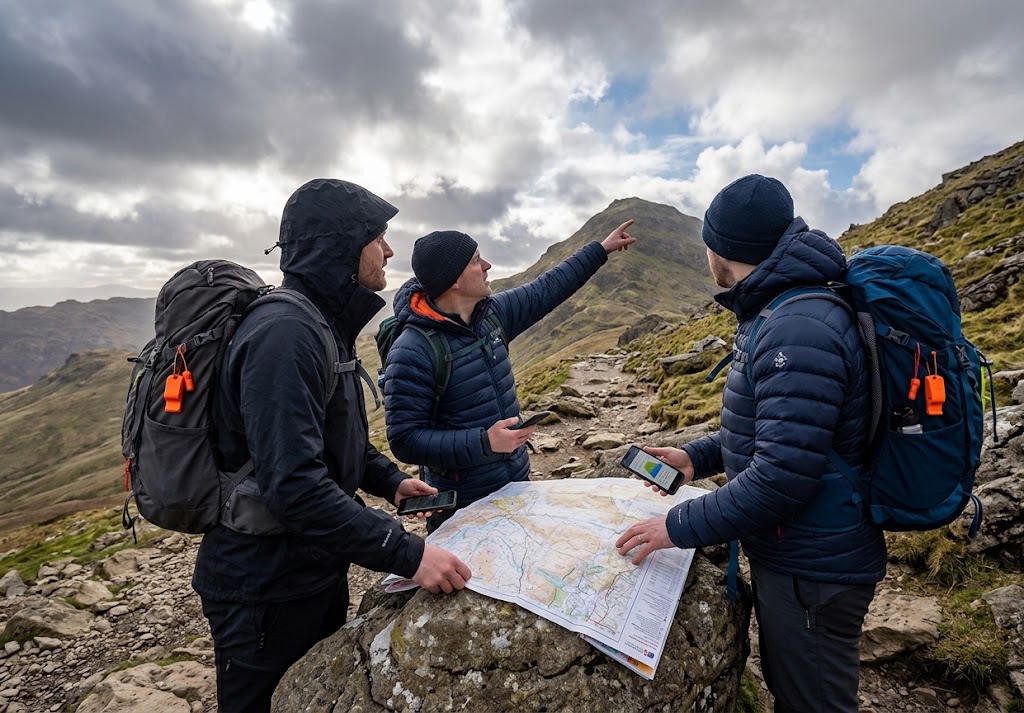
Modern navigation tools are extremely useful, but they should not be your only navigation method in the outdoors.
Phones can lose battery, GPS devices can fail, signals can be unavailable and digital maps can contain errors or outdated information.
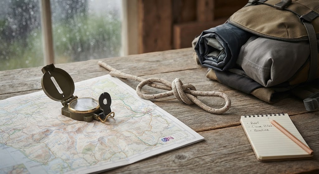
For walks where getting lost could have serious consequences, carry an appropriate map and compass and know how to use them.
Navigation has changed dramatically.
Not that long ago, getting from one place to another in the countryside meant carrying a paper map and compass and learning how to use them.
Today, you can pull a phone from your pocket and see your position on a digital map within seconds.
GPS watches can record your route.
Dedicated GPS devices can guide you across remote terrain.
And services such as what3words can provide a simple way of communicating a very precise location.
These tools are incredibly useful.
But they work best when they’re used alongside good navigation skills rather than instead of them.
What Is GPS?
GPS stands for Global Positioning System.
It is a satellite-based positioning system that allows compatible devices to calculate their location.
Your phone, smartwatch or GPS device can use satellite signals to work out approximately where you are.
Depending on the equipment and conditions, this can be surprisingly accurate.
You can then display your position on a digital map.
This means you can answer an important navigation question very quickly:
“Where am I?”
But knowing where you are isn’t quite the same as knowing where you should go.
You still need to understand the map, the terrain and the route.
Does GPS Need Mobile Phone Signal?
This is a common misconception.
GPS positioning itself doesn’t depend on having a mobile phone signal.
A dedicated GPS device can determine its position using satellite signals even when there is no mobile coverage.
However, some phone navigation features depend on an internet connection to download maps or other information.
That’s why offline maps are so useful for outdoor activities.
Before heading somewhere remote, download the maps you’ll need while you still have a reliable connection.
📱 NAVIGATION TIP
No mobile signal doesn’t automatically mean no GPS.
But your phone may not be able to download maps or information without an internet connection, so prepare beforehand.
What Is What3words?
what3words is a location system that divides the world into 3 metre by 3 metre squares and gives each square a unique three-word address.
For example, instead of giving someone a long grid reference or trying to describe exactly where you are, you can share a three-word location.
This can be particularly useful when communicating a location to someone who isn’t comfortable with traditional coordinates.
It’s also useful when an exact location needs to be communicated in an area without a conventional street address.
Is What3words a Navigation System?
Not really.
This is an important distinction.
what3words is primarily a way of describing and sharing a location.
It doesn’t replace a map and compass.
If someone tells you their three-word address, you’ve been given a location.
You still need a way of getting there.
For outdoor navigation, it’s best thought of as another useful tool rather than a complete navigation method.
Why Might What3words Be Useful Outdoors?
Imagine you’re walking across a large area of countryside and someone needs to know exactly where you are.
Saying:
“We’re somewhere near the woods.”
isn’t particularly helpful.
A precise location can be much more useful.
This can be especially valuable when communicating with people who need to locate you.
However, always follow the instructions of emergency services rather than relying on a particular app or format.
If you’re calling 999 or 112, give the information requested by the emergency operator.
🆘 EMERGENCY LOCATION
If you’re lost or someone is injured, don’t delay calling for help while trying to find a what3words location.
Give the emergency operator as much useful information about your location as you can.
GPS Coordinates
GPS devices can also provide coordinates.
You might see these displayed as:
Latitude and longitude
or in another coordinate format such as a British National Grid reference.
Coordinates are particularly useful because they provide a standardised way of describing a location.
For Scouts, learning how coordinates relate to a paper map is an excellent navigation skill.
It turns a digital position into something you can understand and use on a traditional map.
GPS Isn’t Magic
A GPS device doesn’t understand the landscape in the same way a person does.
It knows where you are.
It may know where a path is shown on its map.
But it doesn’t necessarily know that a path has become flooded, that a bridge is closed or that a particular section is dangerous today.
This is why you should still pay attention to what’s happening around you.
🧭 REMEMBER
Your GPS can tell you where you are.
It can’t always tell you whether where you’re going is a good idea.
Digital Maps Are Extremely Useful
Modern mapping apps can provide information that would once have required several different resources.
Depending on the app and map, you may be able to see:
This can make route planning much easier.
But don’t assume every digital map is perfect.
Map data can be incomplete, inaccurate or out of date.
Always use common sense and pay attention to signs and conditions on the ground.
Download Maps Before You Go
One of the easiest mistakes to make is assuming your phone will always have an internet connection.
It won’t.
Before heading into a remote area, download the maps you need for offline use if your navigation app supports it.
Then test them.
Don’t wait until you’ve lost signal to discover that the map you thought was available offline isn’t.
Watch Your Battery
Your phone might be an excellent navigation device.
It might also be your emergency communication device.
That makes battery management important.
Using GPS, a bright screen and mobile data can drain a battery surprisingly quickly.
Reduce unnecessary battery use and carry a power bank on longer trips where appropriate.
But remember that a power bank is another piece of equipment that can fail or run out.
A paper map doesn’t have a battery percentage.
Don’t Walk With Your Eyes Glued to the Screen
This is one of the biggest problems with smartphone navigation.
You can become so focused on the little blue dot that you stop paying attention to the real world.
That’s dangerous.
You might walk into a low branch.
Miss a junction.
Step into mud.
Fail to notice a road.
Or walk towards a hazard because the route line says you’re going the right way.
Use your phone to check your navigation, then look up and pay attention to the environment around you.
Learn to Match the Map to the Ground
One of the best navigation skills is being able to connect what you see on a map with what you see around you.
If your map shows a river, can you identify it?
If it shows a road crossing, can you recognise it?
If you’re approaching a hill, does the terrain around you match the contours?
This skill is useful whether you’re holding a paper map or looking at a screen.
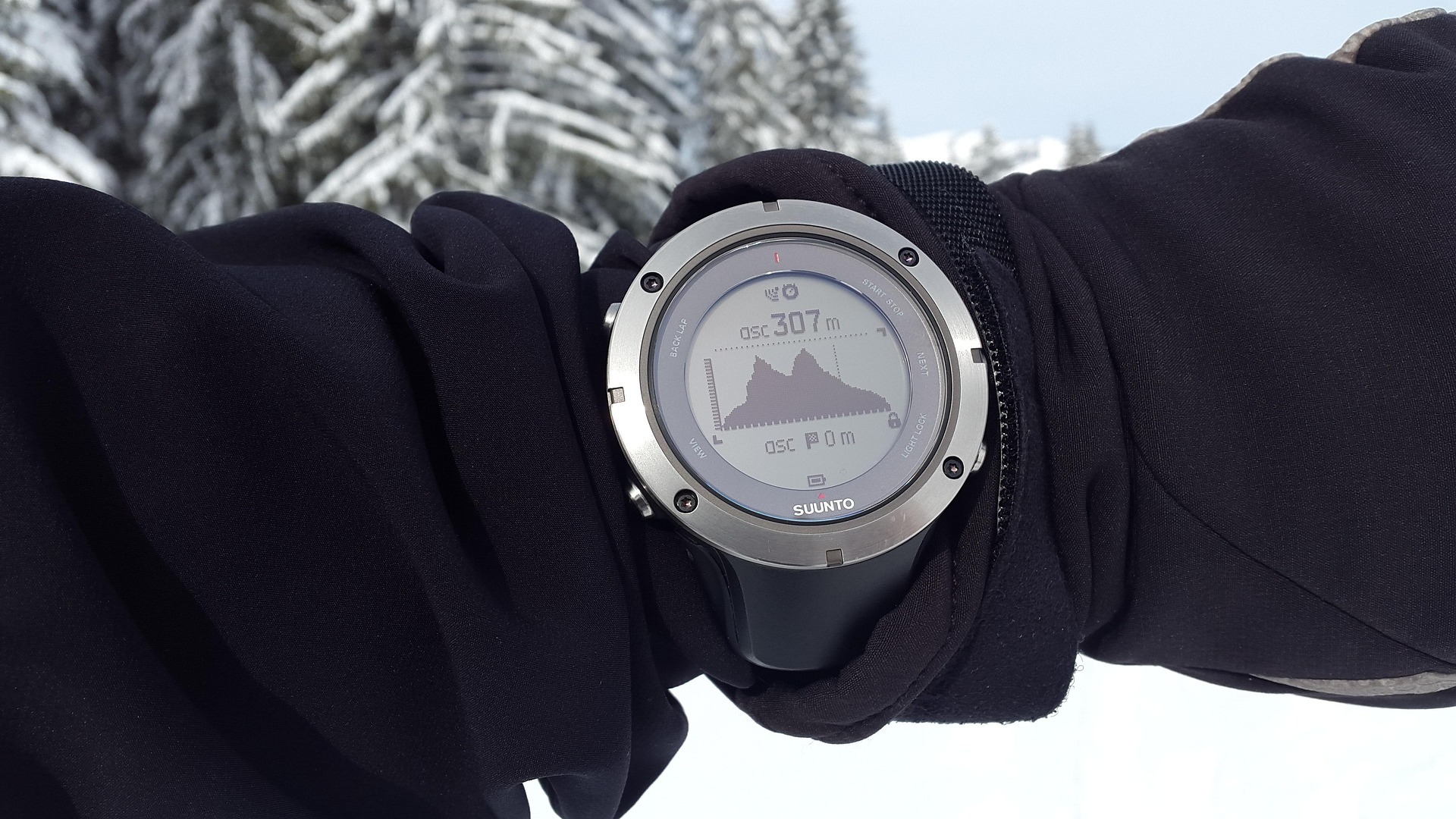
GPS Watches
GPS watches can be particularly useful for walkers and runners.
They can record routes, display your position and provide information such as distance and elevation.
They’re convenient because they’re worn on your wrist.
But the same limitations apply.
Battery life matters.
Satellite reception can vary.
Maps may not contain every hazard.
And a small watch screen isn’t a replacement for understanding a larger map when you’re navigating unfamiliar terrain.
Dedicated GPS Devices
Dedicated handheld GPS devices can be useful for serious outdoor activities.
They are designed specifically for navigation and can have advantages over a phone, including rugged construction, long battery life and physical controls.
They’re particularly useful when you’re regularly travelling in remote areas.
But they’re not magic either.
A GPS device is still a tool.
You need to understand how to use it before relying on it.
What Happens If Your Phone Dies?
This is why traditional navigation skills still matter.
Imagine you’re halfway through a walk.
Your phone battery reaches zero.
What happens next?
If you’ve been relying entirely on the screen, you may suddenly have no idea where you are.
If you’ve been carrying a map and compass and checking your position as you go, you’ve still got a reliable navigation system.
🗺️ THE BACKUP PLAN
Don’t make your backup plan “I hope my phone doesn’t die.”
Carry equipment and skills that still work when technology doesn’t.
Can You Navigate Without GPS?
Absolutely.
In fact, learning traditional navigation is one of the best ways to understand modern navigation.
A paper map teaches you how landscapes fit together.
A compass teaches you about direction.
Contours teach you about height and terrain.
Grid references teach you how locations can be described precisely.
Once you understand these ideas, a GPS becomes much easier to use intelligently.
GPS and the Compass Work Together
Modern technology doesn’t have to compete with traditional navigation.
They can complement each other.
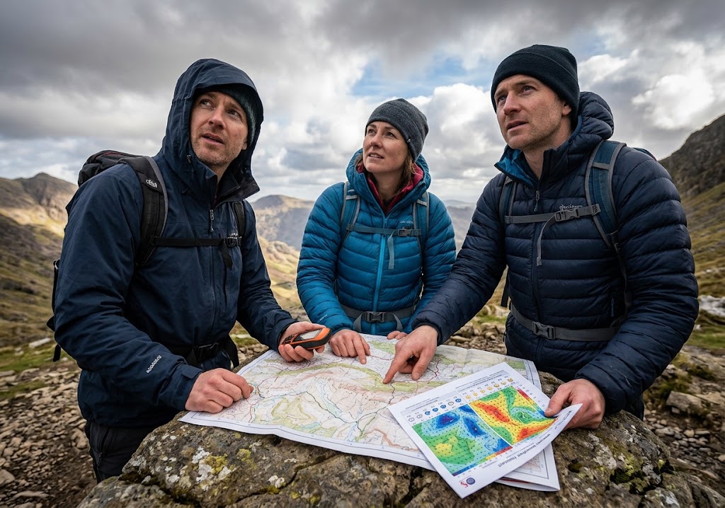
You might use a GPS to confirm your position.
Then use a map to understand the terrain ahead.
You might use a compass to take a bearing.
Then use your GPS to check that you’ve stayed on course.
The important thing is understanding what each tool is good at.
What Should Scouts Learn?
Scouts should absolutely learn about modern navigation.
Phones, GPS devices and location-sharing tools are part of everyday life.
But they should also learn the fundamentals.
A good progression might look like:
Understand directions.
Read a simple map.
Learn map symbols.
Understand grid references.
Use a compass.
Take and follow bearings.
Plan a route.
Use GPS and digital mapping.
Understand what to do when technology fails.
This creates confident navigators rather than people who simply know which button to press.
A Useful Scout Activity
Give each group a map and a GPS-enabled device.
Choose several checkpoints.
Ask Scouts to navigate to each checkpoint using the digital device while also identifying the same location on the paper map.
Then introduce a problem:
“Your phone has just died.”
Ask them to continue using their map and compass.
You can also reverse the exercise.
Give them a grid reference and ask them to find the location using the paper map before checking it against the GPS.
This helps demonstrate that the two systems are complementary.
Modern Navigation and Getting Lost
Technology can make it easier to recover from a navigation mistake.
If you’ve taken a wrong turn, your GPS position can help you work out where you are.
But don’t wait until you’re completely lost.
Regularly check:
Where am I?
Where should I be?
Does the terrain match the map?
Am I still following the planned route?
If something doesn’t make sense, stop and investigate.
Continuing in the wrong direction usually makes the problem bigger.
What3words Isn’t a Substitute for a Grid Reference
Both systems can describe locations, but they’re designed differently.
A grid reference fits naturally into traditional map reading.
what3words provides a simple three-word location that can be convenient for sharing.
For outdoor skills, learning both can be useful.
The important thing is understanding what information you’re actually being given.
Don’t Assume Your Location Is Perfect
GPS positioning isn’t infinitely precise.
Your device may show a location that is slightly different from your actual position.
Trees, buildings, terrain and other factors can affect positioning.
A displayed position should therefore be treated as useful information, not an excuse to ignore obvious hazards.
If your GPS says you’re standing on a path but your eyes tell you you’re standing beside a dangerous drop, trust the environment and reassess your position.
The Best Navigation System Is More Than a Device
The most reliable navigation setup isn’t necessarily the most expensive.
It’s a combination of:
Good planning.
A suitable map.
A compass.
A charged phone or GPS device.
Offline mapping where appropriate.
Knowledge of the route.
An understanding of the terrain.
The ability to adapt when things change.
Technology gives you more options.
It doesn’t remove the need to think.
Final Thoughts
GPS and digital navigation have transformed the way we explore the outdoors.
You can know your position within seconds.
You can download detailed maps before leaving home.
You can record your route.
You can share a precise location.
And services such as what3words can make communicating a location much easier.
But technology should be treated as another layer of safety, not the foundation of all your navigation skills.
Phones run out of battery.
GPS devices can fail.
Maps can be wrong.
Signals disappear.
Weather can change.
The fundamentals remain the same.
Know where you are.
Know where you’re going.
Understand the terrain.
And have a backup plan.
🧭 THE BIG IDEA
Modern navigation is at its best when technology and traditional skills work together.
Use GPS to help you find your position.
Use digital maps to plan and check your route.
Use what3words when sharing a precise location is useful.
But keep your map-and-compass skills sharp.Technology is a tool. Navigation is a skill.
🔒Ready to test your survival skills?
Join Survival Guides UK for free, complete challenges, earn badges and increase your Survival Level.
JOIN FREE →
CRAIG BURR
FOUNDER · SURVIVAL GUIDES UK
I'm Craig, the person behind Survival Guides UK. I created SGUK because I wanted somewhere people could learn real outdoor skills in a practical, straightforward way — from lighting a fire and tying knots to navigation, campcraft and everything in between.
You can read more about the story behind SGUK here as well as our approach here.