
SGUK Outdoor Skills Challenge 44: Learn How what3words Works and Its Limits
Imagine you’re walking across open countryside when someone in your group gets injured. You can see fields and footpaths all around you, but you don’t know the name of the nearest road or how to describe your exact position to the emergency services. This is where what3words can be useful.
The system gives locations three-word addresses, making it easier to communicate a specific spot without having to read out a long set of grid references or rely on nearby landmarks. However, it isn’t a replacement for map-reading, and understanding its limitations is just as important as knowing how to use it.
For this challenge, you’ll learn how what3words works, practise finding and sharing a location, and explore situations where you should use other navigation methods alongside it.
Your Challenge
Your challenge is to use what3words to identify a location, explain how its three-word address works and demonstrate why it shouldn’t be your only navigation tool outdoors.
You’ll practise finding a location on the app or online map, understand the importance of checking the position carefully, and consider what you would do if your phone battery ran out or you couldn’t get the information you needed.
You don’t need to undertake a long walk or visit a remote area. You can complete the practical exercise somewhere familiar and safe.
What You’ll Need
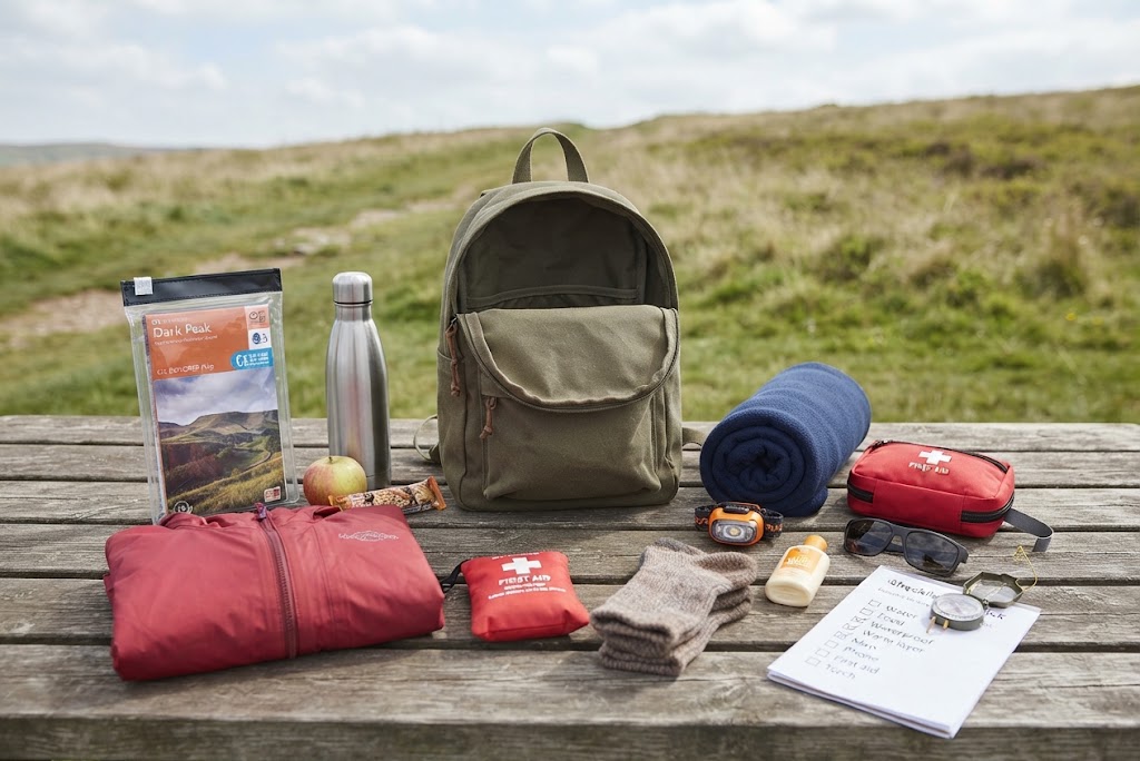
- A smartphone with the what3words app installed, or access to the what3words online map.
- A map of your local area.
- A notebook or notes app to record what you discover.
- A route plan if you choose to practise outdoors.
- A paper map and compass if you want to explore how traditional navigation complements digital location tools.
Take the Challenge
1. Understand how what3words works
what3words divides the world into a grid of squares measuring approximately 3 metres by 3 metres. Each square has its own address made up of three words, written with three forward slashes at the beginning and full stops between the words.
For example, a made-up-looking combination of three ordinary words might be written as ///word.word.word. Each actual combination identifies a particular square on the map.
The system makes locations easier to communicate verbally. Instead of trying to describe an indistinct spot in a field or along a stretch of coastline, you can share three words that identify the square containing the location.
It’s important to understand that a three-word address identifies a small area, not a precise point within that area. If you need to describe the exact position of a casualty, the location of a hazard or where you have left equipment, think carefully about which square you select.
2. Find your current location
Open the what3words app and allow it to establish your position. If you’re outdoors, stand somewhere with a reasonably clear view of the sky and wait for the location indicator to settle.
The app uses your device’s location information, including GPS, to help identify where you are. The accuracy depends on the quality of that location signal, so don’t assume the first address displayed is necessarily correct.
Look at the map and compare the marker with your actual surroundings. Are you standing on the path, beside it, or in a nearby field? If the location indicator moves, give it time to settle before recording the address.
Write down the three-word address for a safe, familiar location. You don’t need to publish your home address or any other private location as evidence for this challenge.
3. Find a second location
Now choose another safe location nearby, such as a public bench, a gate on a permitted path or a clearly identifiable junction. Find its three-word address using the map.
Compare the two addresses. Even if the locations are relatively close together, the three words may be completely different because each grid square has its own address.
Try moving the map marker slightly and see how the address changes when you cross into a different square. This helps you understand why selecting the correct position matters, especially when reporting a location near a path, riverbank or road.
Remember that the map marker and your GPS position may not line up perfectly. Treat the address as a useful location reference rather than proof that your device has pinpointed your position without error.
4. Practise sharing the address
Imagine you need to tell another person where to meet you. Share the three-word address with them and ask them to find it on their own device, if practical.
Check that they have opened the intended square and understand which physical location you mean. If the location is close to a junction, path or building, add a short description to remove any doubt.
For example, you could explain that the location is at the northern gate beside a particular footpath, rather than giving only the three words.
This extra description is particularly important in an emergency. If you call 999, tell the call handler that you’re giving a what3words address, read the words slowly and clearly, and answer any questions they ask to confirm your location.
The app does not contact the emergency services for you. You still need to make the emergency call, and you’ll need a way to communicate with the call handler. See the official what3words emergency guidance for further information.
5. Learn the limitations
what3words can be useful, but there are several reasons not to depend on it alone.
Your location may be inaccurate. The app relies on your device’s location signal. Trees, buildings, terrain and poor satellite reception can affect the position shown. Always check that the displayed location makes sense.
Three words can be misheard or mistyped. Similar-sounding words, unfamiliar words or a simple mistake can lead to a different address. Repeat the words carefully and confirm the result against a map or a description of the surroundings.
A phone isn’t guaranteed to work when you need it. The battery may run flat, the device may become damaged or you may lose access to it. GPS location can work without mobile data, but that doesn’t mean every feature of the app or map will be available offline. Download or prepare the information you need in advance, and carry suitable navigation backups.
Not every emergency service uses the system. Acceptance varies by service and location. In the UK, what3words is used by many emergency services, but you should still follow the call handler’s instructions and be ready to provide a map reference, road name, nearby landmark or other location details.
A three-word address isn’t a route. It helps identify a location, but it doesn’t tell you how to get there safely. It won’t replace your route planning, an understanding of the terrain or the ability to navigate if a path is blocked.
The location may not be obvious on the ground. A square could cover part of a path, a field or a stretch of rough ground. The address alone doesn’t tell another person the safest approach, whether the ground is accessible or whether there is a hazard nearby.
The lesson is straightforward: use what3words as one useful tool in your navigation kit, not as your entire navigation plan.
6. Compare it with traditional navigation
Take a paper map of your local area and identify the location you used for the challenge. If you know how to use grid references, find the same location on the map and record the reference.
Compare the two systems. what3words can be easier to communicate verbally, while a map and grid reference help you understand the wider area, terrain, paths and possible approaches.
You can also use landmarks to support your location description. A three-word address, a grid reference and a clear description of nearby features can provide several ways to check that everyone is talking about the same place.
If you’re planning an outdoor journey, prepare your route before setting off and carry a suitable map and compass where appropriate. Don’t wait until your phone stops working to discover that you cannot navigate without it.
Check Your Results
Before completing the challenge, make sure you can answer these questions:
- How large is a what3words square?
- How do you find the three-word address for your current location?
- Why should you wait for your location indicator to settle?
- What could go wrong when sharing three words verbally?
- Does what3words provide a safe route to a destination?
- What would you use if your phone stopped working?
- Why might it help to give a landmark or map reference as well?
If you can explain these points in your own words, you understand both the purpose of what3words and why it has limits.
Complete the Challenge
To complete this challenge, find and record the what3words address of a safe location, demonstrate that you understand how to share it, and explain at least three limitations of the system.
Your evidence should show the location exercise and include a short explanation of how you would back up a what3words address with traditional navigation or other location information.
You do not need to share a private address or undertake a risky journey. A safe local exercise is enough to demonstrate the skill.
How to Submit Your Challenge
Submit your evidence
- Go to your SGUK member profile.
- Open Social Activity.
- Upload a photograph of your evidence to the activity wall.
- Add the hashtag #SGUKChallenge44.
- Share it for verification.
Your photograph could show your notes, a map and compass alongside your written findings, or your completed challenge checklist. Avoid sharing personal location information you don’t want made public.
Challenge 44 Checklist
Want to Push Yourself?
Plan a short walk on a familiar public route. Before setting off, identify a few safe meeting points on your map and find their what3words addresses.
For each point, record a second way to describe the location, such as a map grid reference, a named path junction or a recognisable landmark. Consider which information you would give first if you needed help and how you could communicate your position if your phone became unavailable.
The aim isn’t to choose one navigation system over another. It’s to become comfortable using different methods together and to understand what each can and cannot do.
What’s Next?
You now have another useful tool for communicating your location, along with a clearer understanding of why outdoor navigation needs more than a smartphone. Keep practising how to check your position, plan your route and communicate clearly when you’re out exploring.
If you’d like to revisit the previous challenge, try SGUK Outdoor Skills Challenge 43: Learn the National Trail Waymarks. You can complete SGUK challenges in any order, so choose the next skill that interests you.
Once you’ve shared your evidence and it has been verified, the SGUK Outdoor Skills Challenge 44 is complete and the completed challenges figure will be updated on your profile.
🔒Ready to test your survival skills?
Join Survival Guides UK for free, complete challenges, earn badges and increase your Survival Level.
JOIN FREE →
CRAIG BURR
FOUNDER · SURVIVAL GUIDES UK
I'm Craig, the person behind Survival Guides UK. I created SGUK because I wanted somewhere people could learn real outdoor skills in a practical, straightforward way — from lighting a fire and tying knots to navigation, campcraft and everything in between.
You can read more about the story behind SGUK here as well as our approach here.